Deploying a cloud Based Infrastructure and Implementing a Decision Support System for Disaster Response
Project Purpose
After Typhoon Morakot, the National Science and Technology Center for Disaster Reduction (NCDR) developed a Decision Support System for Disaster Response in Taiwan, which is used by central and regional governments. This system has played a crucial role in providing critical information during the data-assessment and decision-making processes in disaster response and has effectively provided relevant data using spatial-information technology to assist government leaders in managing disasters. Recently, this system inspired various departments and divisions to develop relevant systems toward spatial informationalization.
Because information technology is developing rapidly, this project aims to incorporate novel technology with disaster prevention strategies. In addition to applying graphic data from various departments and divisions to disaster prevention, this project will use the cumulative energy of various divisions and projects to transform differing graphic data into a disaster management and decision-making system.
Collaboration with Other Units
- According to the requirements of the National Science and Technology Council (i.e., Program on Applying Science & Technology for Disaster Reduction), the application service platform for disaster prevention and response was expanded into a disaster management-information platform to provide services to units nationwide related to disaster prevention and response.
- By collaborating with disaster-related government authorities regulated by the Disaster Prevention and Protection Act (e.g., the Central Weather Administration, Water Resources Agency of the Ministry of Economic Affairs,Agency of Rural Development and Soil and Water Conservation, Executive Yuan, and National Fire Agency of the Ministry of the Interior), NCDR monitors and measures real-time data and disaster information, assists with the collection and analysis of disaster-potential data, and conducts real-time calculations during natural disasters, such as typhoons and torrential rains.
- By cooperating with the Application Promotion Group for Disaster Reduction of the National Geographic Information System of the National Development Council, NCDR assists with integrating and disseminating disaster preventing and responding relevant data.
- By participating with the Spatial Information Group of the Office of Disaster Management, Executive Yuan, which is responsible for integrating remote-sensor graphic information, NCDR has rapidly integrated aerial survey-graphic data and applied them to disaster management.
Primary Tasks
Data on disaster prevention and response are crucial in managing disasters. Complete consideration of available information on disaster prevention and response, adequate responses to various disasters, developed technologies, and the incorporation of various applications into disaster prevention are essential. This project will investigate the current developments and inadequacies in disaster prevention and response plans. In addition, we will examine domestic and foreign developments relating to disaster prevention and response and design a development scheme for national disaster prevention and response to maximize the effectiveness of the information used for developing disaster prevention and response strategies.
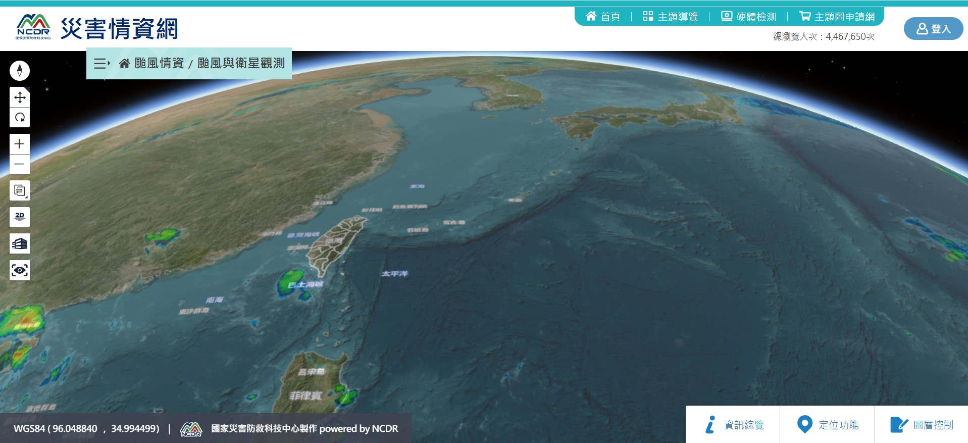
The Decision Support System for Disaster Response in Taiwan was developed and used since 2010. Because relevant technologies are developing rapidly, this project will apply the decision-tree method to disaster prevention and assist the central and regional Disaster Emergency Operation Centers with establishing this system. This system will primarily be used by the directors working in central and regional Disaster Emergency Operation Centers. The system will be used to organize real-time information obtained from various units and present real-time information in a spatial map to enhance decision-maker abilities in assessing information related to disaster management.
 >
>
The decision support system for disaster management
Key Achievements
- Enhanced a Decision Support Module for Disaster Management
- Displayed 3D module
- Displayed module for real-time information in the whole river basin
- Promotion and Training for Local Governments
- Trained and promoted to 17 local governments
- Developed a regional warning module
- Accelerated and Improved the Platform Performance
- Enabled services of the platform
- Implemented three backup sites architecture
- Expanded the Services and Applications on Google Public Alerts
- According to Google Analytics, public alerting services have served more than 16 million people